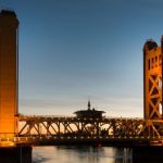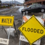
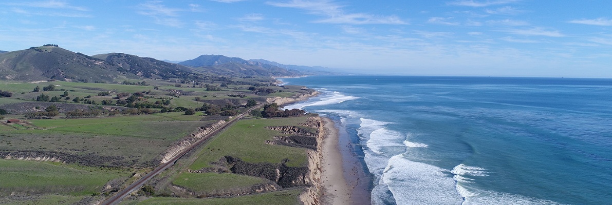
Looking down on Hollister Ranch. Left to right you see the green hills and meadows end at steep cliffs along the empty, sandy beaches. waves crash on the shore and the blue ocean extends to the right.

Next Commission Meeting

Tuesday, August 25 at 1 p.m.

Port of San Diego Administration Building
Boardroom
3165 Pacific Highway
San Diego, California 92101

Submit Comment

The San Diego skyline reflects in San Diego Bay during an early morning sunrise. Photo taken January 9, 2013.

News

Map encompassing the locations of the 9 oil and gas pipeline leases in this study (southern San Luis Obispo County to northern Orange County). Oil and gas production platforms that the pipelines serve and associated production leases are shown. The delineation between state waters (approx. 3 nautical miles from shore) and federal waters is shown.

The Commission is hosting three virtual public information‑sharing webinars this month about its report on offshore oil and gas pipeline leases. Two 60‑minute sessions will take place on Thursday, August 13, 2026—one at 2:00 p.m. and another at 6:00 p.m. A newly added third session will be held on Monday, August 17, 2026, at 11:00 a.m.

Simplified map indicating the subject state parcel shown as APN 027-160-011 in a thick black outline that is surrounded by thinner black outlines showing private ownership, Llanada, San Benito County.

At its August 25, 2026 meeting, the Commission will consider authorizing the issuance of a patent to a private individual for state-owned school land in San Benito County. This action is subject to applicable statutory and constitutional reservations.

Thousands of lights from the San Francisco skyline reflect on San Francisco Bay.

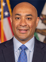
The State Controller, Malia Cohen, chaired the Commission’s June meeting that was held at the Milton Marks Conference Center in San Francisco.

Our Commissioners and their Alternates

Karl Larson
Policy Director and Alternate

Michele Perrault
Chief Deputy Director and Alternate